Download the Google Earth app or visit the website https://earth. google.com/web and select ‘Explore Earth’. It is available on all devices, but the page set-up can differ slightly.
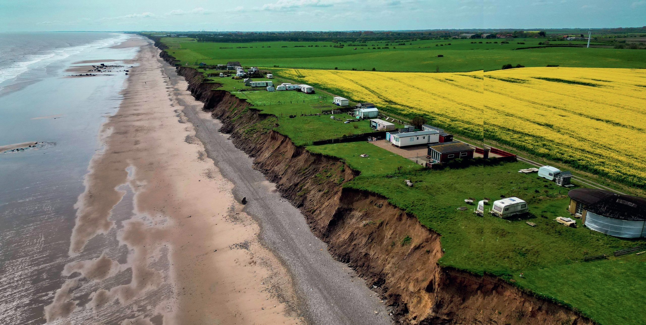
To see the rate of coastal erosion in Holderness, East Yorkshire, type ‘Cowden Holiday Park Hull’ into the search bar and zoom out to view the whole place. Past images of the same location can be viewed by activating ‘Historical Imagery’. On a PC, click the Earth icon with a rotating arrow in the upper menu bar. On a tablet select the ‘layers’ icon in the upper right and scroll down to select the named option. Select the 2003 image on the timeline, then the most recent date either by progressing along the timeline or selecting the ‘end’ button. It is worth repeating the time jumps several times to see how a feature has changed, or open a new window alongside with the image from a past date in one and the most recent one in the other.
Your organisation does not have access to this article.
Sign up today to give your students the edge they need to achieve their best grades with subject expertise
Subscribe