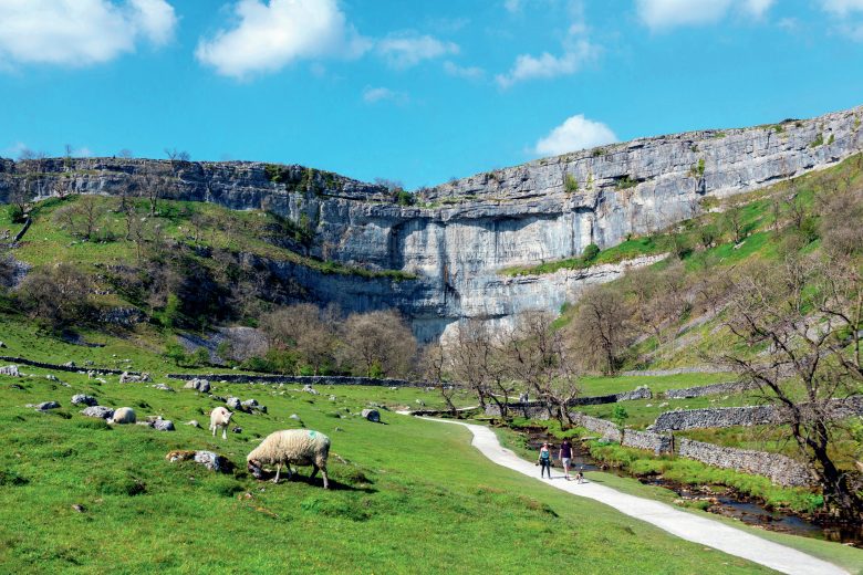
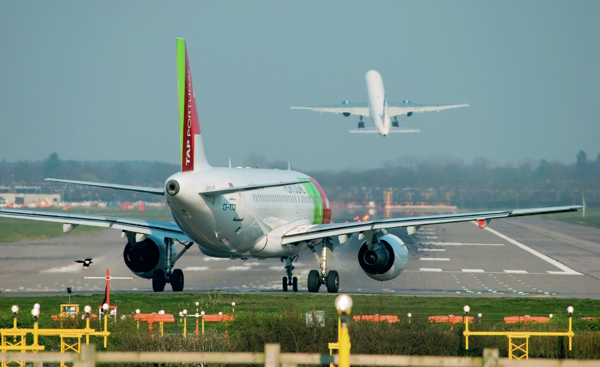
As they fly in and out of Gatwick, plane passengers can gaze down at the patchwork of southeast England and trace the River Mole and its tributaries, winding across the landscape. The river disappears at times and then reemerges to flow 80 kilometres, across open floodplains and through the villages and towns of Surrey (Figure 1). Eventually the River Mole joins the River Thames at Hampton Court Palace in west London.
One of the River Mole’s many tributaries is called Gatwick Stream, which joins the upper course of the Mole, just south of Gatwick Airport. This upper course section can be described as ‘flashy’ as the river responds very rapidly to high levels of precipitation, and flood warnings are fairly frequent along the river’s course.
Your organisation does not have access to this article.
Sign up today to give your students the edge they need to achieve their best grades with subject expertise
Subscribe