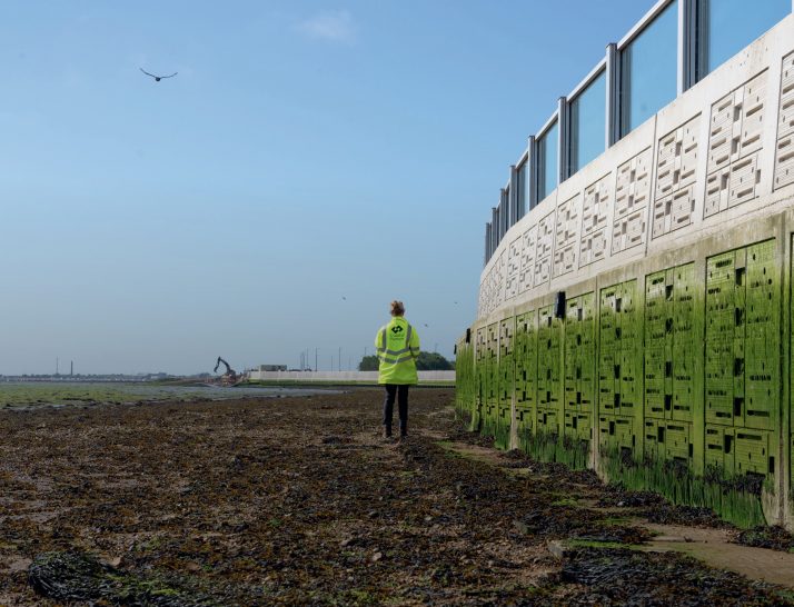

For decades, GCSE and A-level students from across the country have headed to the coast, armed with ranging poles, tape measures, clinometers, and most likely a waterproof jacket, to investigate the impact of longshore drift on beach geomorphology. A common method involves measuring the width and gradient of the beach at various points: a tried and tested technique known as the beach profile.
There is good reason why this method has become a staple of coastal fieldwork. The same fundamental technique is used by coastal monitoring observatories around the world, albeit with more advanced equipment, to track the movement of material within sediment cells and subsystems. However, beach width and gradient alone offer limited value for geographical enquiry. While beach width can vary between depositional and erosional zones, it provides only a one-dimensional perspective, something that could just as easily be obtained from secondary data sources using the measure tool in ArcGIS on aerial imagery.
Your organisation does not have access to this article.
Sign up today to give your students the edge they need to achieve their best grades with subject expertise
Subscribe